Vigie-Flore
Common flora monitoring
 Biodiversity
Objectives
Assess the spatial and temporal variations in the abundance of common plant populations.
Specific actions
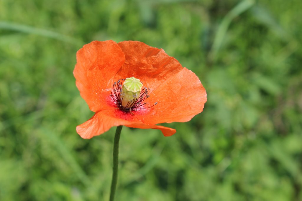
Standardized counts of common plants
 Project created
 Mainland France
Type of project : Field, online
Participation period : Printemps-été
Level of involvement : Case by case
Project description
This observatory is part of the Vigie Nature network.
To take part in the Vigie-flore program, participants must first choose an unassigned grid point to be inventoried from a map of grid points. On the map of France, 1 sq km grid points, at 10 km intervals, are shown as green dots (not yet assigned) or red dots (already assigned to an observer). Each grid point contains eight plots, each forming a rectangle of 10 sq meters. Participants must locate as many plots and as accurately as possible and carry out the inventory of flora.
After choosing a grid point and noting its number (xxx-xxx format), participants can then sign up for the Vigie-flore program by providing the grid point number. Participants can choose more than one grid point.
One grid point generally requires at half a days in the field. The time required depends on plot accessibility, species diversity and participants’ botanical knowledge.
Co-managers
Benoît Fontaine
Ingénieur de recherche
Muséum national d’Histoire naturelle (MNHN)
CESCO

Benoît Fontaine
Gabrielle Martin
Coordinatrice observatoires gestionnaires de Vigie-Nature
MNHN-CESCO
Gabrielle Martin
Emmanuelle Porcher
Professeur
Muséum national d’Histoire naturelle (MNHN)
CESCO